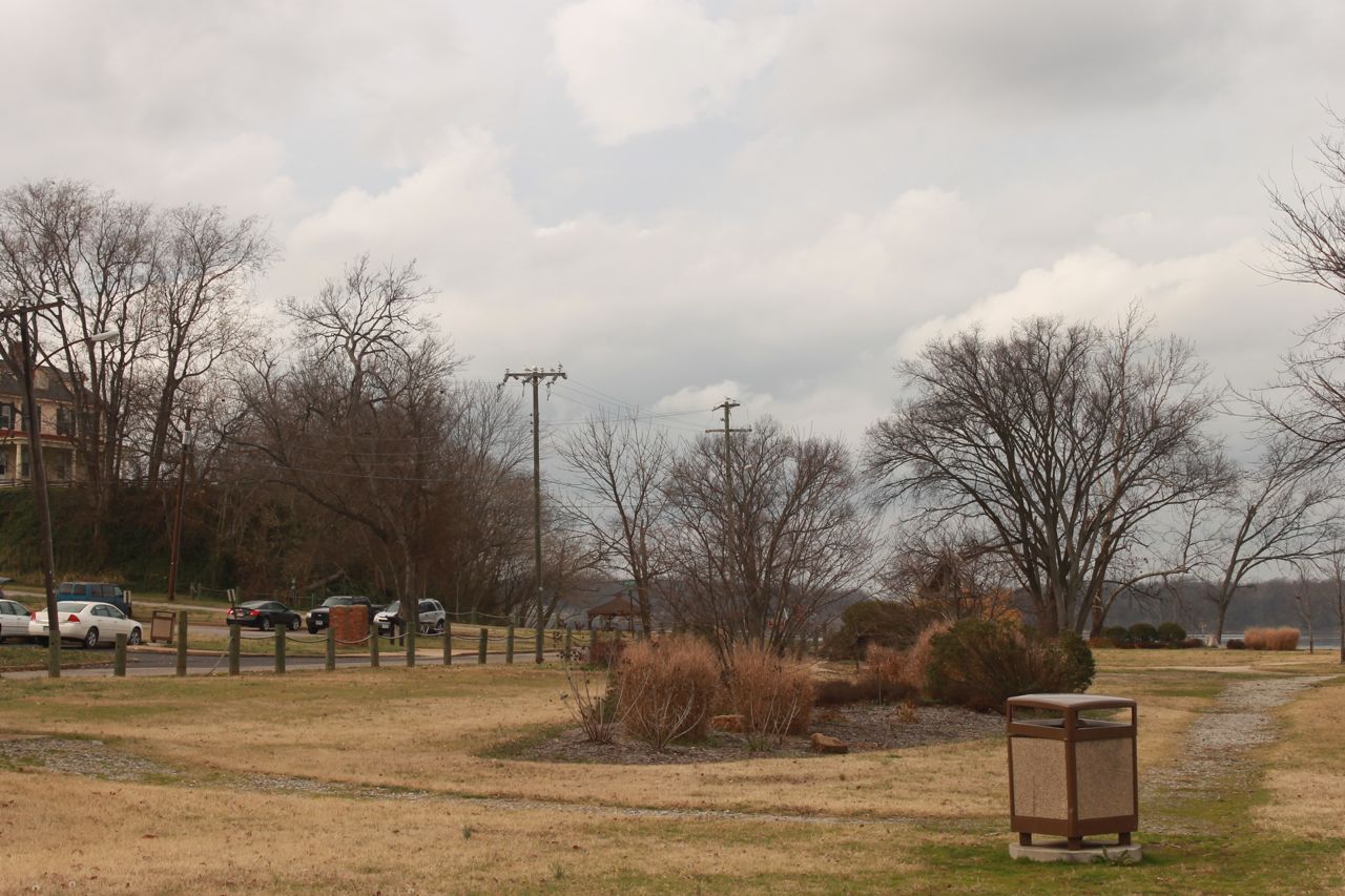
City Point on
December 22, 2011
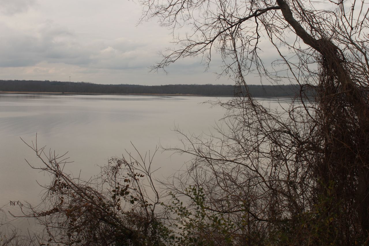
Looking down the Appomattox River towards the James River from near
the National Park parking area.
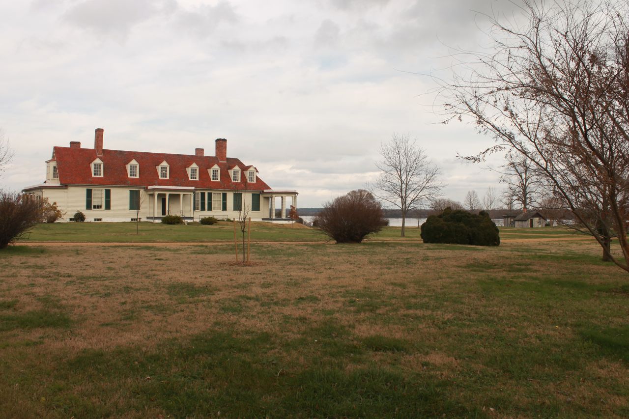
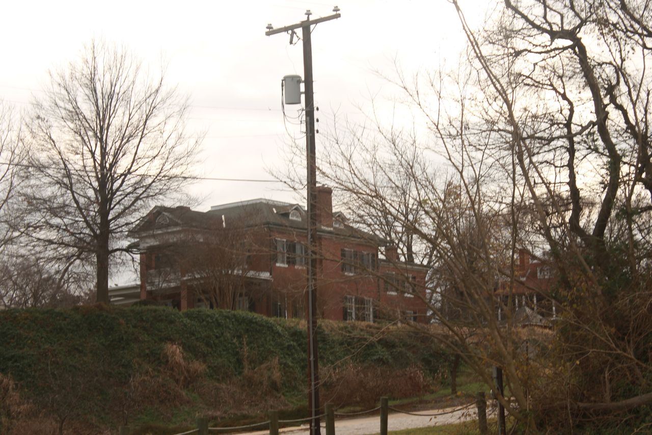
Eppes Mansion with Grant's Cabin and James River in background
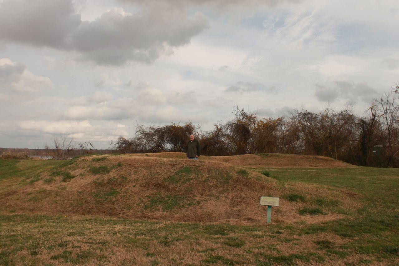
Missing from Merricks Map is this lunette, which is overlooking the
river, located just east of the line of HQ cabins. It possibly
held
two field guns. This lunette may predate the Union occupation
and be a Confederate remnant from the fighting in 1862.
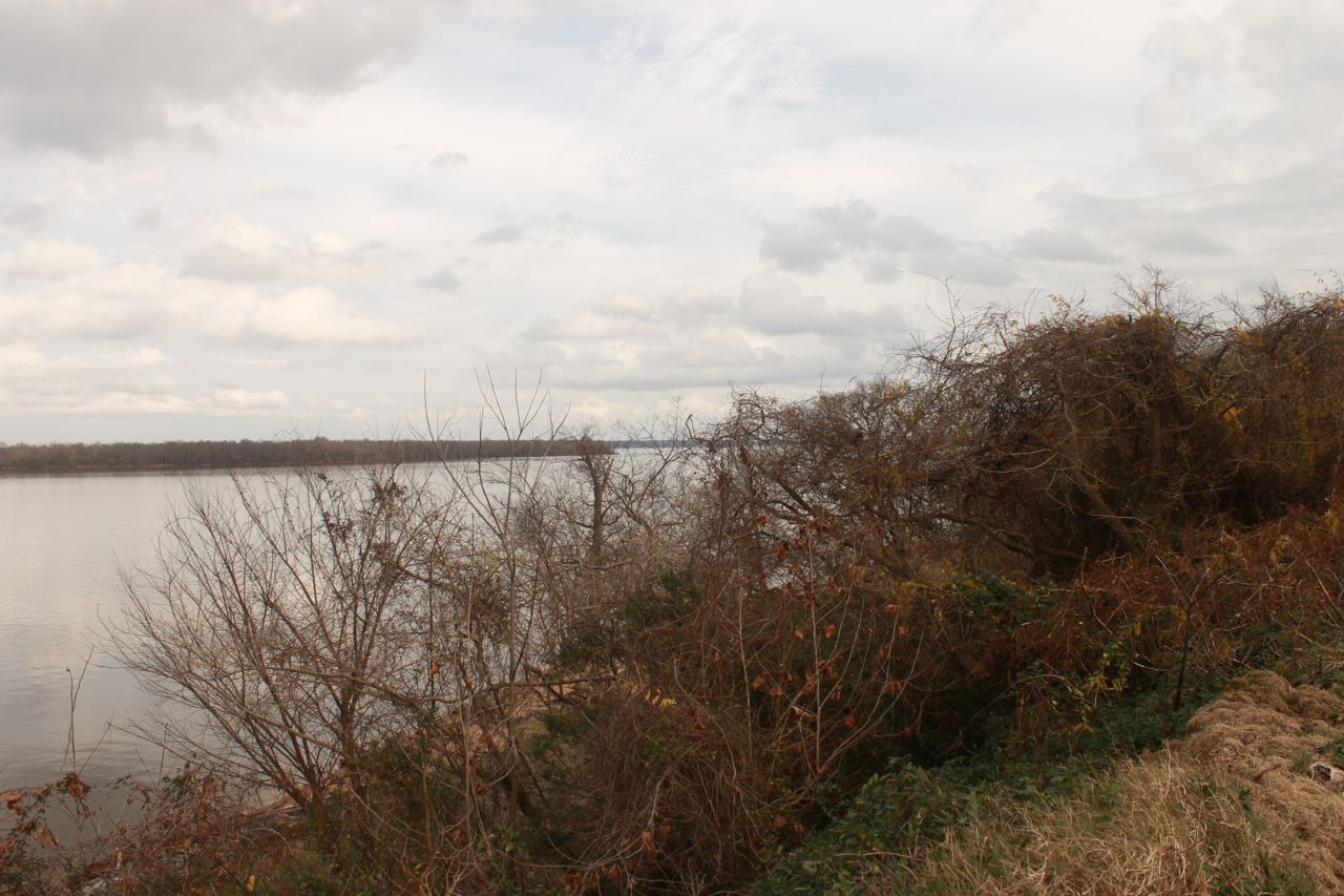
Looking down the James River from bluff, near the lunette.
Many
of the river views have not changed much in the last 150 years.
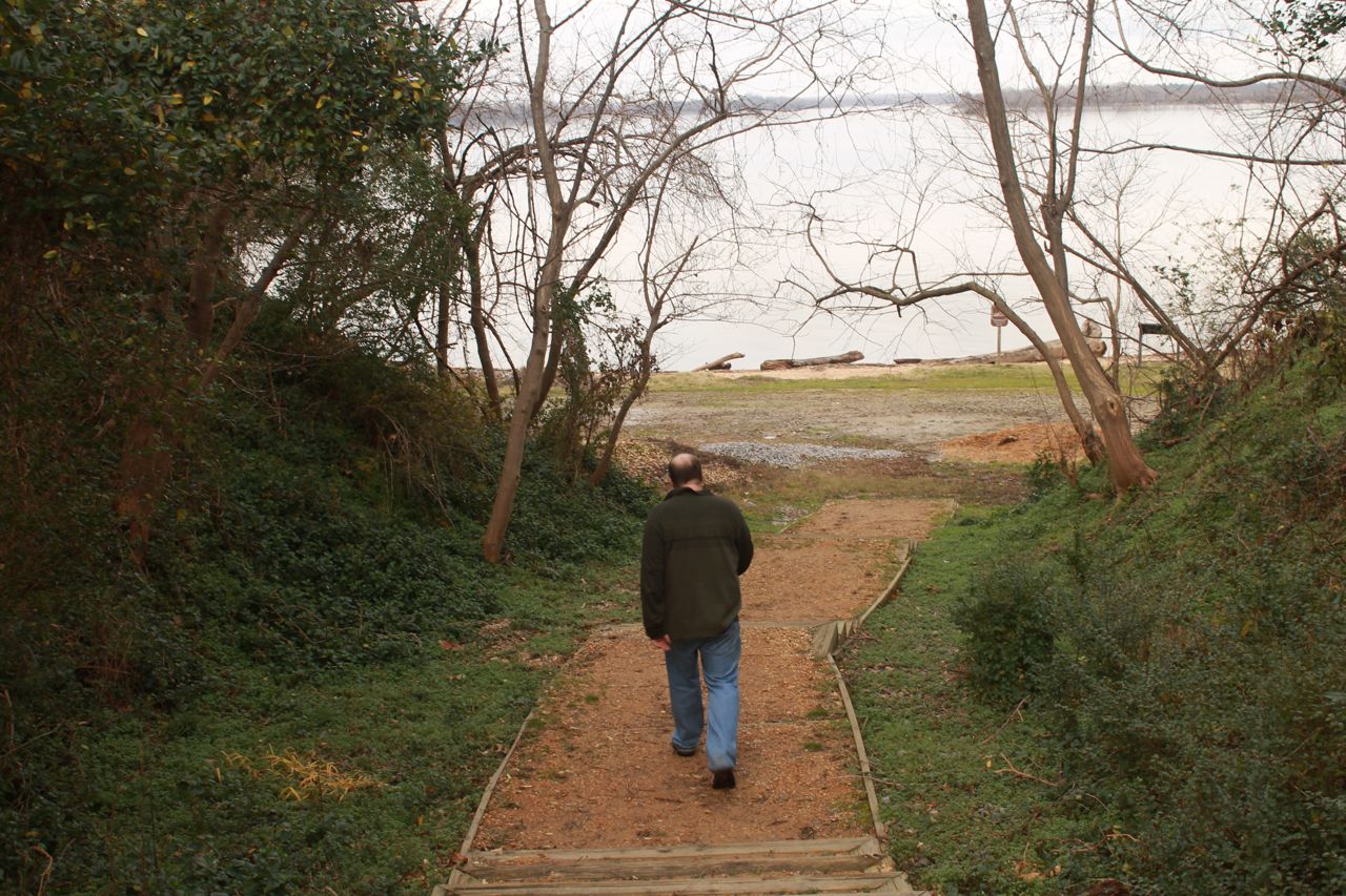
Further east of the Lunette, was a footpath down to the shoreline on
the James River.
Looking back up the access path. As you can see, the 'bluff'
really isn't very significant, maybe 15 feet high. I would
probably call it a large bank, rather than a bluff.
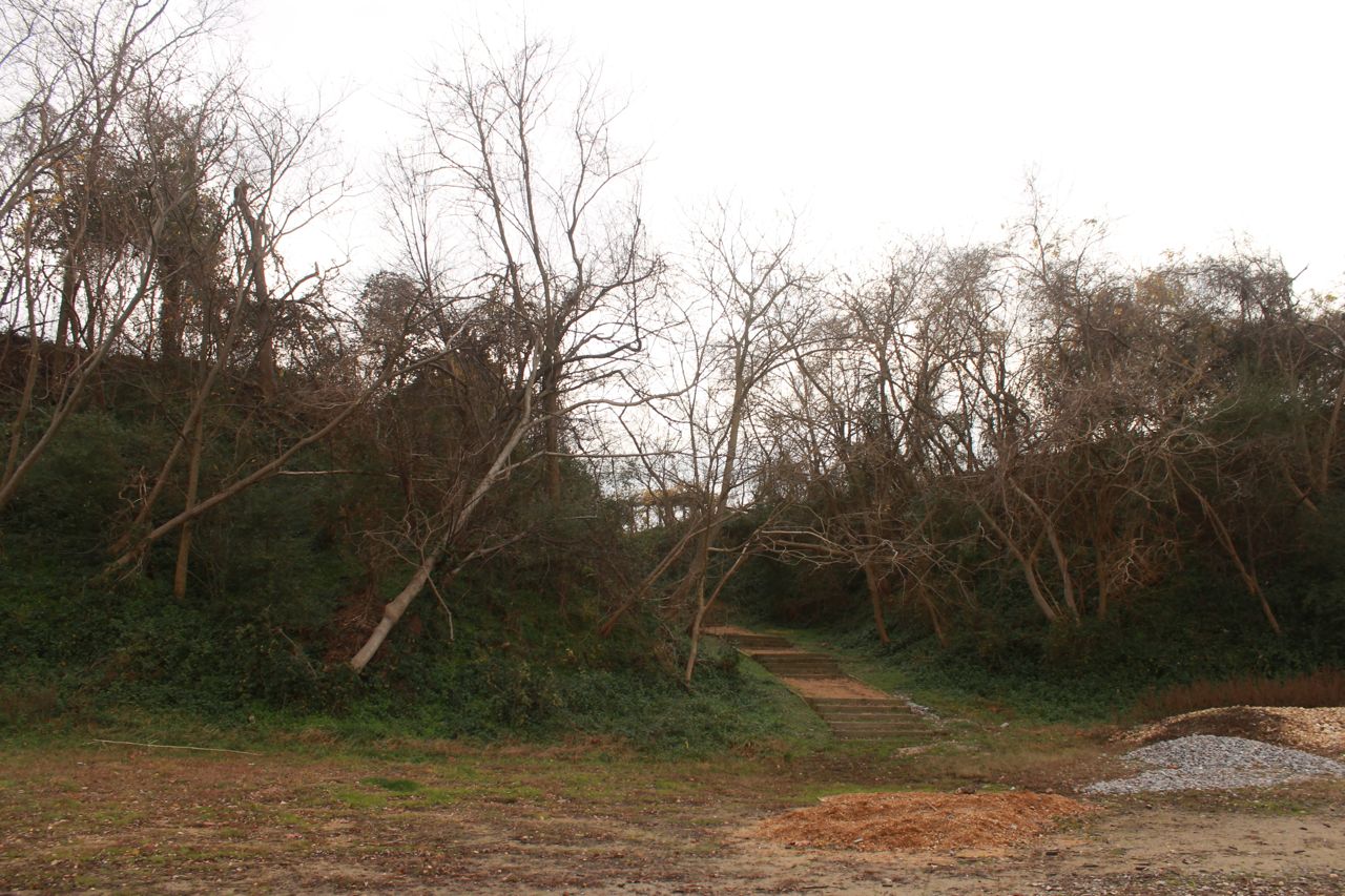
A little further down river is Pecan Avenue cutting through the
bank. This cut appears to have surived intact, since the Civil
War days.
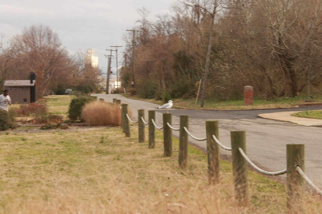
Looking down Pecan Ave and Water Street towards the business that
now
occupies the area of the railroad wharf and yard. The road on
the
right, leads to a parking area at the foot of the bank.
Looking up the James River shoreline. During the fall of 1864
and
first half of 1865, there were large warehouses located here.
Now
it is a quiet park.
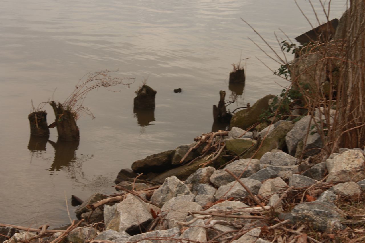
The riverbank is much different than during the time of the Civil
War. During the Civil War, the shore area was a large mudflat,
which accounts for the large pier area that supported the
warehouses,
railroad and footpaths. These are most likely later
pilings. It is unlikely that any original pilings would have
survived since the Civil War.
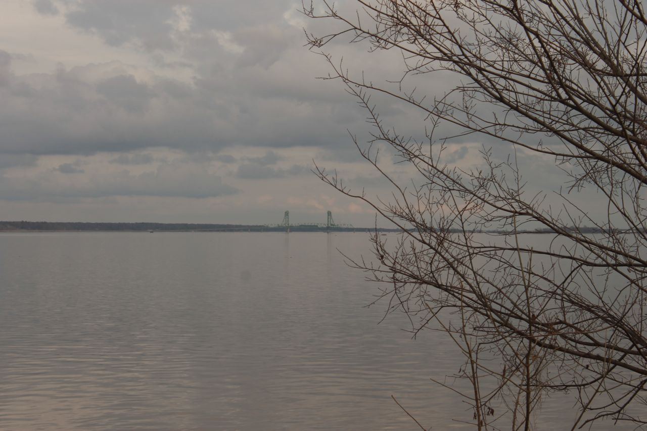
Looking down the James River. Except for the modern highway
bridge in the background and the lack of steam and sail powered
transports, the view hasn't changed much in 150 years.
Back
to Mike's
Hobby Home Page
