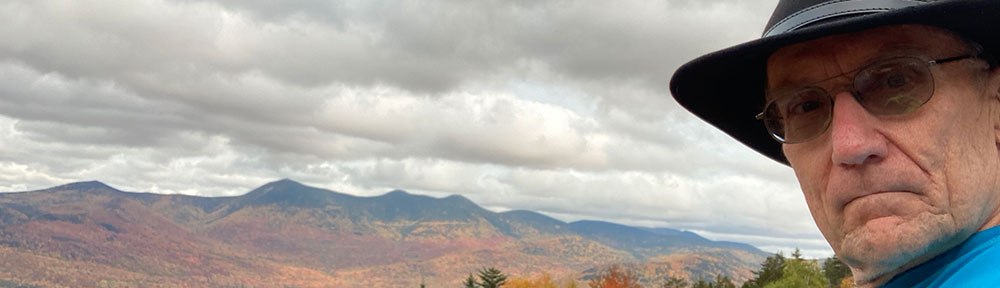
The day after Vintage Computer Festival Southeast, I spent some time north of Atlanta visiting some Battlefields. First I visited the Battlefield at Allatoona Pass. For numbers engaged, this is said to be the bloodiest battle of the Civil War. You can read a bit about the battle here.
The battlefield is now a very peaceful State Park. It is located about 20 miles north of Kennesaw about a mile or so off of I-75. Here is an image of the pass looking from North to South.
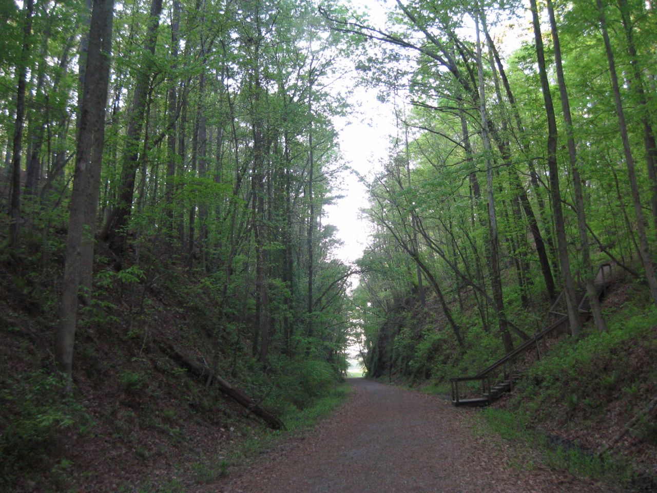
Allatoona Pass
The next picture shows the initial position of the 12th Illinois, looking from the Confederate approaches. This position is a natural bastion and seems like it would be very difficult to attack. Indeed the attacks upon this position failed early on and were not pressed. The 12th Illinois later vacated this position and went to a more threatened position.
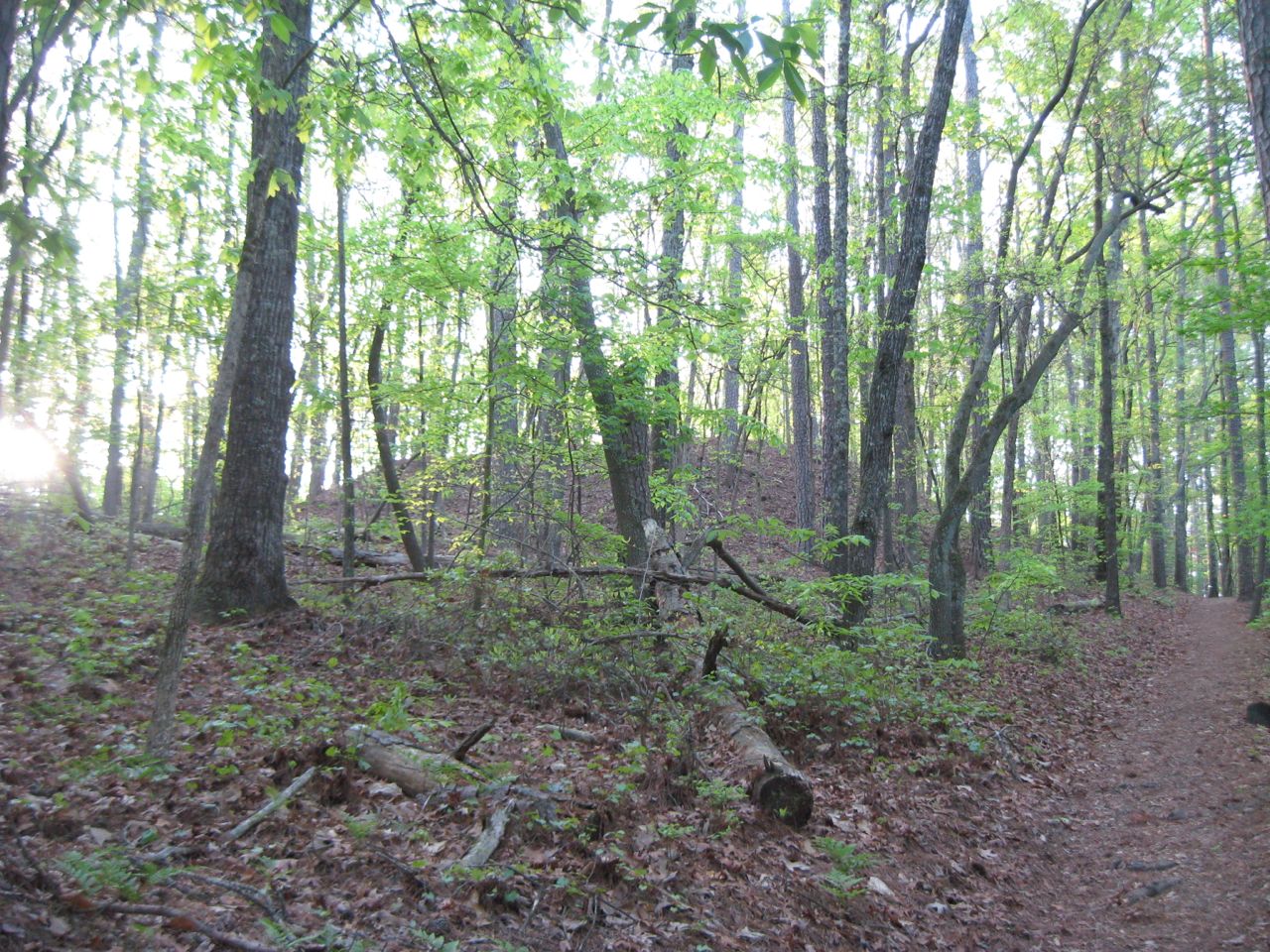
Position of 19th Indiana (at top of bluff)
The most interesting thing I found about this battlefield is the state of preservation of the earthworks, most of which are extraordinary. I was a bit confused as to why the remaining defenses are mostly oriented to face an attack from the north. This is despite that fact that the Confederates surrounded this position and attacked from all sides. History say that there were south facing defenses, but none remain.
Later in day, I asked the ranger at Kennesaw Headquarters about this, and he thought for a minute and said that the reason is that these defenses were taken over from the Confederates, who had erected defenses here to stop Sherman from reaching Atlanta. However this doesn’t completely explain why the records indicate that there were south facing fortifications, that are now, nowhere to be seen. This is in direct contrast to the extraordinary condition of the north facing defenses.
I have been thinking about it off and on for a few weeks and have a possible explanation. The north facing defenses were probably constructed by the Confederates (probably slaves) and reused by the US troops. However, the US troops had to construct their own south facing defenses. Due to lack of time, energy and the likelihood that this position was only likely to be attacked by raiders, they constructed log breastworks from felled trees, instead of digging proper entrenchments. Those south facing wood breastworks constructed by US troops either rotted away or were burned as firewood by neighboring families and now leave little trace. Now this is pure conjecture, but it is the only way that I can rectify the historical record of an all around defense with remaining evidence.
There is one other thing that bothered me, when walking the ground. The trenches of the 4th Minnesota end at the sunken wagon road that passes across the hill. Between the 4th Minnesota and the 12th Illinois, was a gully that some Confederates used for cover when their attack failed. These Confederates were trapped in this gully and some 80 of them ended up surrendering at the close of the battle. However the trenches of the 4th Minnesota do not face this gully and the 12th Illinois left their positions to reinforce other positions after the Confederate attacks on them failed. So how did the 4th Minnesota maintain enough firepower to keep these Confederates pinned down in a gully that their trenches did not face. My conclusion, is that the left of the 4th Minnesota had to be refused and extended along the sunken wagon road, which directly overlooked the gully containing the trapped Confederates. Today, this sunken road is the perfect depth to act as an entrenchment. Another piece of pure conjecture, but it is the only possible explanation that makes sense to me.
Stay tuned, I’ll talk a bit about Kennesaw Mountain in a future post.
Pingback: Visit to Kennesaw Mountain « Mike's Hobby Blog